Mapping Houston Addresses: the Visual Breakdown of Border Confusion
 By Sophia Al-Mansoor
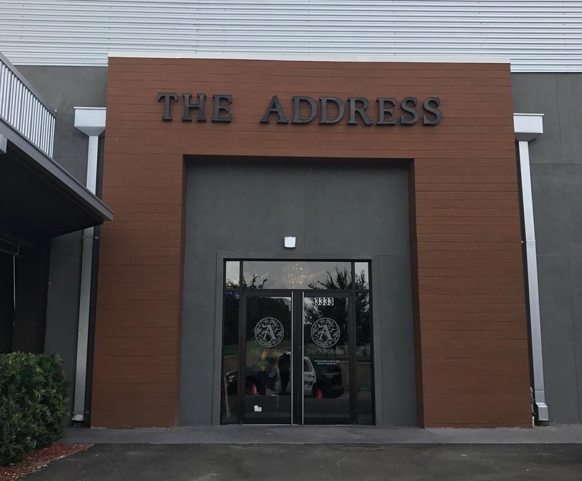
Mail routes prioritize transport velocity over statutory boundaries. When the postal service created modern five-digit ZIP codes in 1963, sorting facilities grouped parcels according to the closest regional distribution hub. If an unincorporated neighborhood or annexed corridor received its carrier out of the Humble or Sugar Land post office, the federal agency stamped that suburban town name onto the delivery line.
Local governments work under a separate legal framework. Texas municipalities expand through statutory boundaries outlined in the Texas Local Government Code. When the City of Houston expanded outward through the latter half of the twentieth century, it absorbed subdivisions without asking the federal government to restructure postal routes. Redrawing postal boundaries costs federal agencies money, alters automated sorting machinery, and triggers public outcry over altered letterheads. As a result, the federal carrier continues delivering letters marked "Humble" or "Stafford" to driveways whose owners cast ballots in Houston mayoral elections.
This administrative divide catches commercial developers off guard. A business owner purchasing a commercial lot with a Sugar Land postal address might submit building plans to Fort Bend County, only to have construction halted by Houston code enforcement inspectors demanding municipal permits. The envelope displays one town, but municipal code officers follow Houston's legal footprint.
Sophia analyzes international trade, startup ecosystems, retail transformation, and supply chain logistics for modern digital publications.
